Smart decisions and plans, powered by data.
Azure Maps Data and Insights offers a comprehensive suite of features and discover how you can unlock valuable insights to drive informed decision-making.
Rich geospatial data
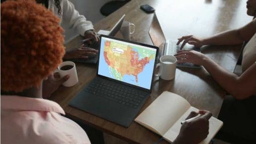
Access a vast repository of high-quality geospatial data curated from diverse sources worldwide, providing a comprehensive view of the physical environment and leverage powerful analytics tools to extract actionable insights from spatial data, uncovering hidden patterns, trends, and correlations that drive strategic initiatives.
Boundless flexibility
Benefit from Azure's robust and scalable infrastructure, enabling you to process and analyze large volumes of spatial data efficiently and cost-effectively that helps you visualize spatial data in a way that suits your needs, with customizable maps, charts, and dashboards that facilitate clear communication and decision-making.

Industry-specific compliance
Ensure compliance with regulatory requirements by accessing geospatial data that meets the highest standards of accuracy, privacy, and security with spatial analytics solutions tailored to your industry's unique compliance criteria, whether you're in retail, logistics, real estate, or urban planning.
Data and Insights
Azure Maps makes it easy to use and integrate accurate geospatial data into your applications to unlock new insights.
Timezone
The timezone service allows developers to query the timezone for any latitude/longitude. The timezone service can return past, current, and future timezones, localized time zones in UTC, or daylight savings in various formats.

Traffic Data
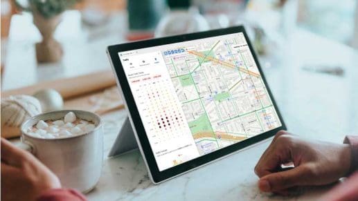
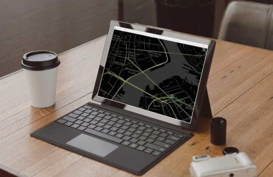
The traffic service provides data on traffic flow and incidents for a given area or route and presents this information as a map overlay using the traffic data API. This data provides insights and critical awareness of flow and incidents along a route that could affect routes, distance, and travel time between locations.
Weather Data
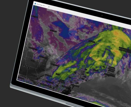
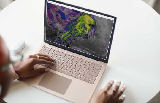
The weather service provides daily, historical, normal, and actuals for any latitude/longitude while also providing temperature, air quality, and storm information using the weather data API. The Weather service provides valuable data to inform prediction and modeling based on current and forecasted data allowing for the development of applications that are weather-informed.
More features from Azure Maps

Location Services
Locate addresses, places, and points of interest around the globe. Geolocate IP addresses or use geocoding to convert addresses to coordinates or GPS coordinates to addresses.
Mapping and Visualization
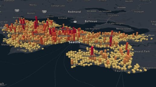
Azure Maps lets you visualize your data on a variety of map styles. Bring your own data from multiple sources to power your decision making.

Routes and Directions
Azure Maps offers routing for cars, trucks, and pedestrians, helping you find efficient routes that take into account traffic and local restrictions.
Getting Started Guide
Sign up / sign in to the Azure Portal and start building today.
Technical Documentation
Explore quickstarts, how-to-guides, tutorials, and API reference documentation.
Coding Samples
Visit the Azure Maps web control sample gallery to browse code samples.

