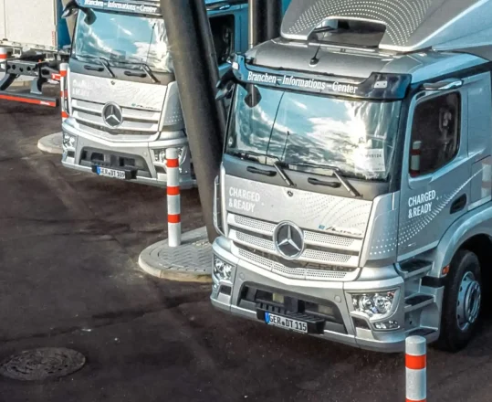
Logistics, the way it should be.
Azure Maps’ truck routing services simplify complex urban routing challenges, accounting for varied terrain and vehicle conditions.
Traffic Data
Keep your fleet on schedule, all the time with reliable location intelligence, including data on road closures, speed limits, and temporary construction work.
Legal Restrictions
Azure Maps accounts for local restrictions depending on the location of your fleet, including limitations on hazardous materials, weight restrictions, and more.
360° Routing
Never miss another detail with Azure Maps, from strong crosswinds to road gradients and toll charges.
Endless Customization
The Azure Maps truck routing service allows developers to build fully-customized truck routing apps that account for multiple kinds of key limitations such as bridge height, weight limits, tunnel cargo rules, and more.
Faster Routing
Every truck turns and handles differently. Create unique optimized routes for your fleet, getting them to their destination faster with a truly intelligent truck routing API.
Route Range for Trucks
Support for the route range service means that developers can easily calculate and visualize an isochrone, showing them the exact distance a truck can travel based on fuel, energy, time, and budget.
Avoid Restrictions
Build truck routing that saves your fleet the hassle of recalculating routes during transit. Use the “avoid” tag to:
- Avoid ferries.
- Avoid toll roads.
- Avoid crossing country borders.
- Avoid unpaved roads.
- Avoid routes requiring HOV lane use.
Batch Geocoding
Simplify truck routing, fleet management, and delivery planning with batch geocoding, a service that allows users to convert hundreds of addresses into geographic coordinates (and vice-versa) with a single request.
Azure Maps Routing Services
From simple A to B routing for a single agent to complex matrices for hundreds of vehicles, Azure Maps simplifies every aspect of routing for individuals and organizations. This service streamlines routing for large fleets while staying customizable.
Azure Maps Routing APIs
More routing solutions

Route Range and Route Matrix
Visualize the exact distance an agent can travel based on specific limitations like time, budget, and distance. Use the route matrix service to calculate routes for multiple sets of destinations at once.

EV Data
Leverage accurate route mapping data on EV charging points and range limits to make the most of your growing EV fleet. Visualize kWh usage with ease and keep your fleet charged up at all times.
Ready to start building?

Get started
Our platform provides you with everything you need — from subscription keys for API authentication to a plethora of code samples, demos and SDKs.

Documentation
Complete with code samples, SDK support, and detailed explanations, this is a one-stop resource for enhancing your projects with the wide range of Azure Maps APIs.

Samples
These pre-written snippets show how to perform various API calls for current weather, forecasts, and severe weather alerts, among other functionalities.
Frequently asked questions
-
You can start building today by signing up for a free Azure Maps subscription and creating an Azure Maps instance. Pick a pricing tier that suits you and your organization and gain access to a massive repository of location data.
To learn more about our services, you can contact an Azure Maps expert today.
-
Yes. We offer a free $200 in Azure credit to all new customers right after signup. With the free credit and our pay-as-you-go system, you only have to pay for what you use beyond the free service limits.
-
Our API allows developers to account for nearly every major factor on the road. When creating route requests, users can specify the truck dimensions (height, width, axle weight, clearance), the acceptable amount of road gradient, the type of cargo it is carrying (from class 1 to 9), and more. Consult the routes documentation to learn more.
-
Yes. Developers can use the Azure Maps Search APIs with our truck route mapping service to easily find points of interest along their truck routes, including hotels, restaurants, rest stops, stores, and more. You can learn more about finding POIs for truck routers with our search documentation.
More features from Azure Maps

Data and Insights
Process and analyze massive amounts of real-time and historical location data with Azure Data services to find the best possible solutions to logistics challenges.

Location Services
Map supply chains, locate POIs, and create customized experiences with powerful geolocation data, all backed by robust search APIs and extensive GIS databases.

Mapping and Visualization
Create varied, fully customizable, and interactive graphs that inform creative decision-making. Experience a new way of visualizing your data.


