Azure Maps for sustainability management
The effects of poor resource and ecosystem management are increasingly being felt within our lifetimes. Whether you’re an enterprise looking to improve your carbon footprint or an initiative dedicated to sustainability projects, Azure Maps can help you boost productivity and make a greater impact with powerful geospatial data.
Environmental Mapping
Monitor pollution levels, track biodiversity, and protect and rewild habitats with robust environmental GIS tools.
Resource Management
Leverage a comprehensive solution to optimize usage of natural and urban resources, such as water, soil, energy, and even waste.
Supply Chain Management
Map supply chains and monitor the environmental performance of corporate facilities to ensure sustainable sourcing and logistics.
Urban Planning
Use maps to identify areas for green spaces, plan transport routes, and identify optimize resource allocation and consumption.
Built for the environment

Data and Insights
Azure Maps GIS allows you to process large volumes of environmental data and generate actionable intelligence tailored to your sustainability initiatives.

Location Services
Our location services, including Geolocation and Geocoding APIs help you pinpoint areas of concern, while tracking resources and other assets.

Imagery
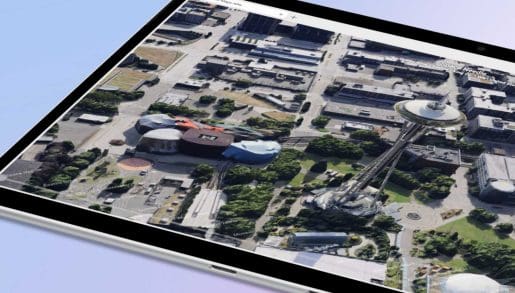
Our high-resolution satellite and aerial imagery is updated continuously and perfect for creating environmental data visualizations and tracking impact to an area over time.

Weather
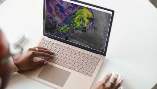
Get current, historical, and projected weather conditions, including air-quality data, to enable weather-based visualization and track climate change.
Frequently asked questions
-
Azure Maps offers you unmatched worldwide coverage when it comes to geospatial mapping. A full suite of monitoring, analytics, and visualization solutions allow you to gather and deploy environmental intelligence that’s tailored to your sustainability projects.
-
Azure Maps’ geospatial tools can monitor everything from wildlife populations and migration to deforestation, air and water quality, land use, energy consumption, and more. You can also easily integrate your own data streams into Azure Maps to create custom visualizations.
-
Yes! Companies can leverage Azure Maps’ environmental mapping and related geospatial tools to optimize their energy and resource consumption and institute sustainable supply chains, helping lower their carbon footprint and cut costs at the same time.
-
Azure Maps environmental GIS tools can prove to be a huge help in planning urban green spaces, transportation, and utility lines, while also generating a wealth of data that citizens can use to inform themselves and promote sustainable practices.
-
Yes! Azure Maps tools are very versatile and can be tailored to any geospatial use case, including for environmental mapping, monitoring, and visualization. Contact an Azure specialist to learn more.


