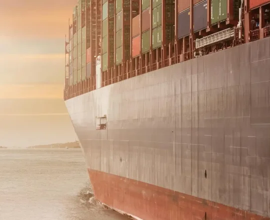
Supply Chain
Unlock efficiency and predictability in your supply chain with Azure Maps.
Gain unprecedented visibility and control over your supply chains with our mapping APIs for increased efficiency, reduced costs, and improved customer satisfaction.
Azure Maps for Supply Chain Management
Azure Maps provides data, spatial analytics, and mobility solutions for supply chain management, including powerful tools to optimize routing and real-time tracking to improve overall logistics performance.
Advanced Routing
Dynamic routing options that consider multiple factors such as traffic conditions, road restrictions, and vehicle specifics.
Tracking & Geofencing
Create virtual boundaries to trigger actions when assets enter or leave a designated area, enhancing security and operational efficiency.
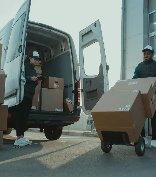
Mobility Solutions
Support for last-mile delivery and urban logistics with solutions tailored to various vehicle types.
Weather Service
Real-time weather data along the route helps you plan around adverse weather conditions to minimize disruptions.
Increased customer satisfaction
Reliable delivery estimates and faster delivery times enhance customer satisfaction and loyalty.
Improved visibility
Build trust with increased visibility of valuable assets throughout their journey. Gain visibility to the real-time movement and past histories of assets for powerful insights by visualizing them on maps.
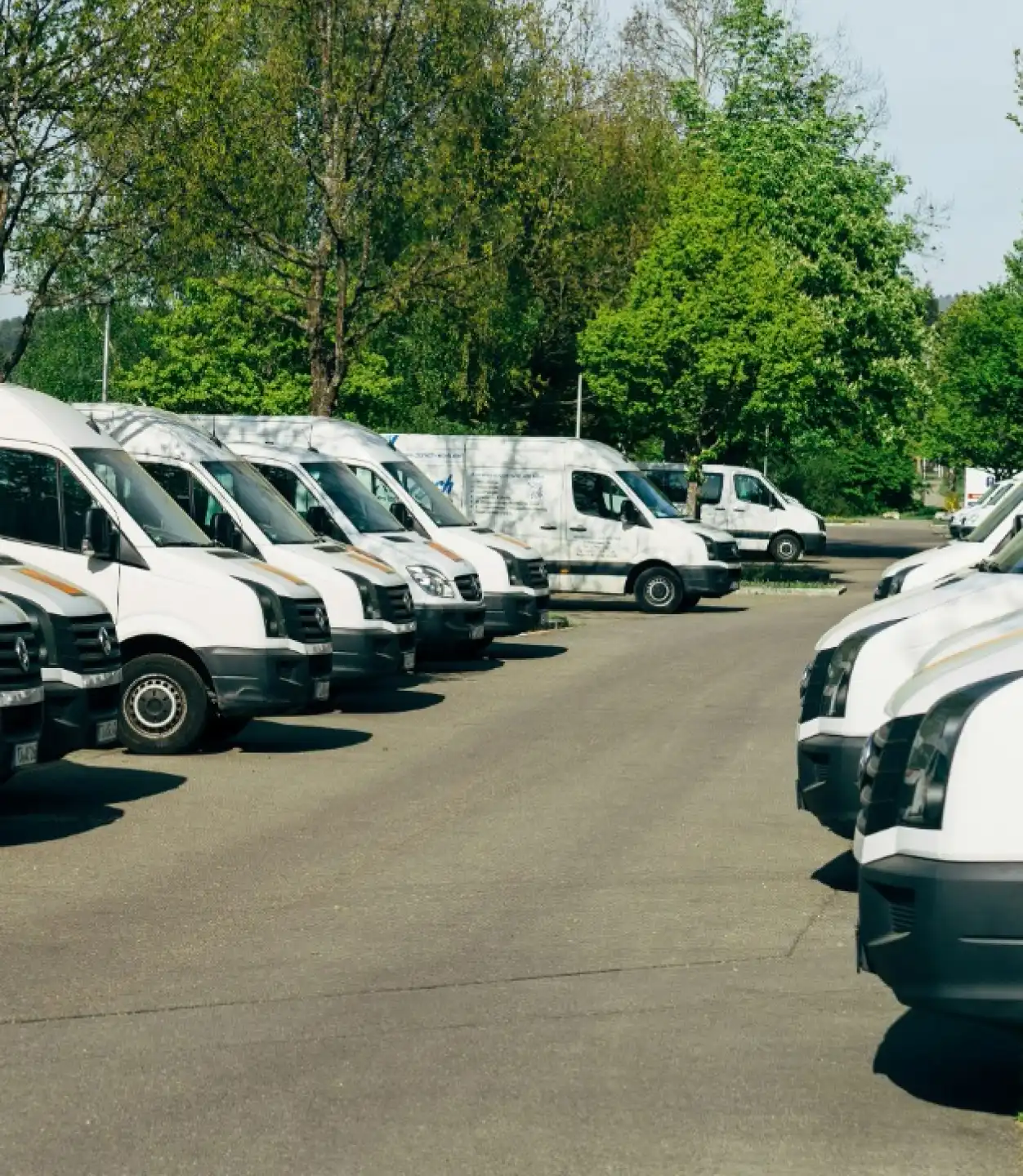
Optimized fleet management
Make informed decisions with real-time and historical data to improve route efficiencies and reduce operational costs.
Build powerful fleet management software with real-time and historical location data to analyze spatial context for the movement of assets.
Transform your supply chain operations.
Begin your journey towards a more efficient, transparent, and customer-focused supply chain with powerful Mapping APIs today.
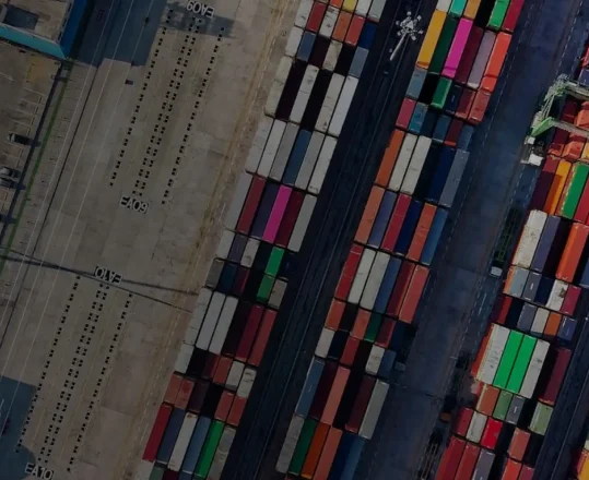
Built for Supply Chain Management

Data and Insights
Process and analyze massive amounts of real-time and historical location data with Azure Data services to find the best possible solutions to logistics challenges.

Indoor Mapping
Build unique and compelling indoor experiences for customers and employees. From tracking indoor assets to navigating venues, indoor mapping has never been easier.

Location Services
Map supply chains, locate POIs, and create customized experiences with powerful geolocation data, all backed by robust search APIs and extensive GIS databases.

Routes and Directions
Determine ideal routes for individual vehicles and entire fleets using real-time, multi-modal routing solutions. Optimize logistics with efficient mapping solutions.
Frequently asked questions
-
Getting started with Azure Maps is as easy as signing up for a free account. Once you’ve signed up, you can start building right away with $200 in free Azure credits, and pick a pricing tier that works for you when you’re ready.
-
Absolutely. Maps can reveal deeper insights into your operations and help efficient supply chain management. For example, the route range service can reduce fuel costs by helping managers identify the best vehicle for a given delivery based on its fuel consumption. Similarly, updated EV data can help electric fleets stay on track by routing them through charging stations at optimal intervals.